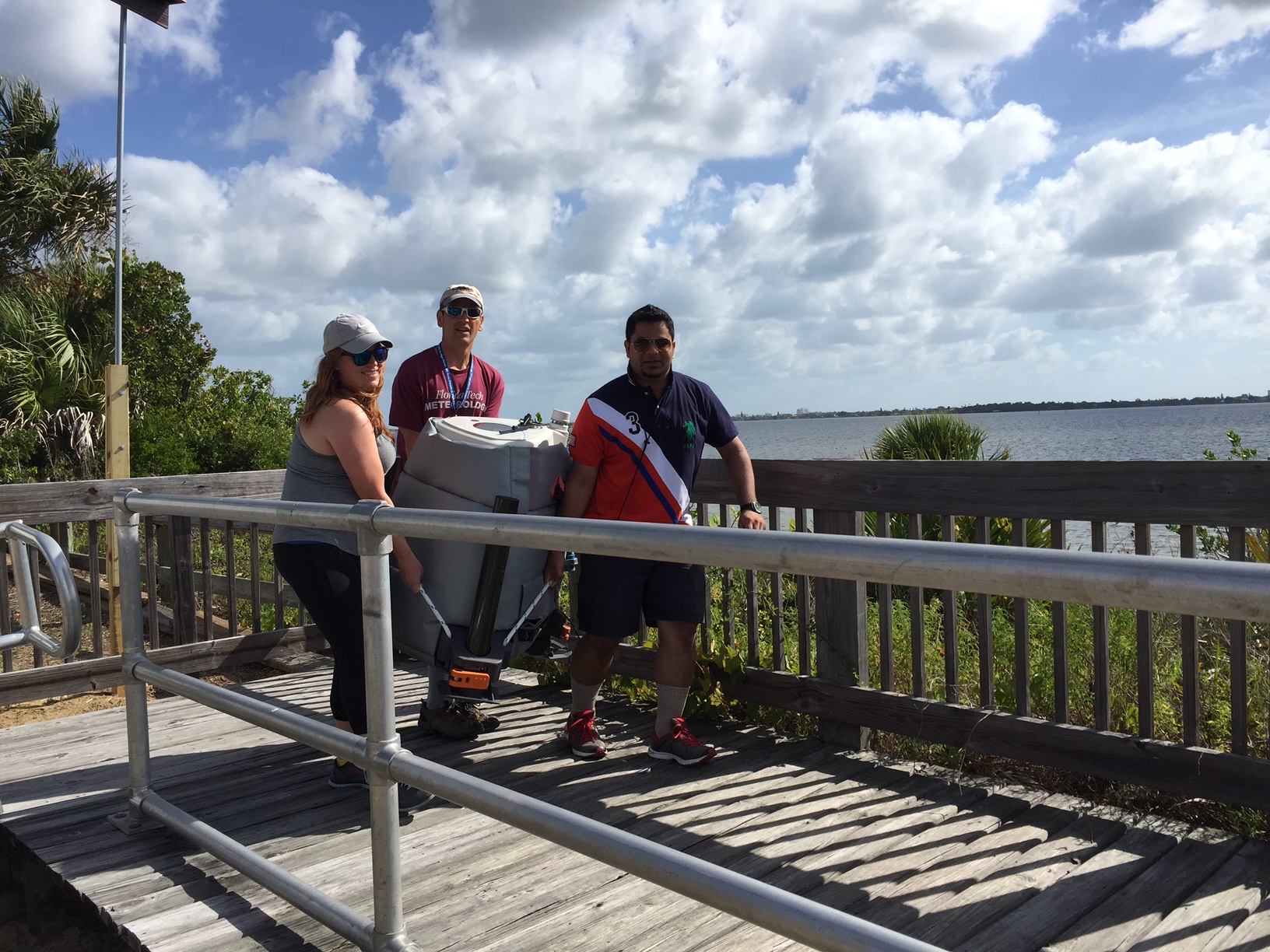
Meanwhile FIT students Tia Harris and Mohamed Al-Sabri, along with professor Mike Splitt, port the wind lidar to a ‘sweet spot’ behind the Lagoon House.
Using Wind Lidar to Catch a Breeze Across the Lagoon
During summer field projects, undergraduate students in the Department of Ocean and Engineering Sciences (DOES) participated in a project to measure the wind acceleration across the lagoon. To accomplish this, the winds were recorded at three different locations. At the beach, the students mounted a hand held Kestrel (weather sensor) on top of a 10 meter pole, while at the same time other students deployed a vertically pointing wind lidar at the Lagoon House. They then placed a wind sensor on an FIT pontoon boat and crossed the Indian River Lagoon between the beach and Lagoon House! The wind lidar actually measures winds at multiple levels, up to 300 meters above the ground, and its measurements were used to estimate the impact of the waves on the low level wind speed. Because the wind lidar also measures up and down motion – students were able to measure the strength of the lift along the dune crest as well as along the escarpment at the western edge of the lagoon. Students prepared reports, posters and presented their results from the summer field work at a DOES Symposium.
It’s calibration day as FIT undergrad Kelly Reardon readies the Kestrel wind sensor for mounting.
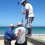
Calibration day continues – up goes the 10 meter pole with Kestrel wind sensor mounted on top.
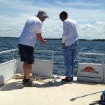
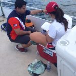
Professor Mike Splitt and undergraduate student Kelly Reardon mounting the Airmar wind sensor on board the FIT pontoon boat prior to launch.
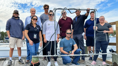
Florida Tech students, along with Dr. Steven Lazarus, ‘set sail’ on board the FIT pontoon to collect wind observations along prescribed Indian River Lagoon transects.
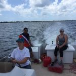
Students Michael Barnett and Hailey Ambrose discuss their wind observations collected along Indian River Lagoon transects on board the Florida Tech pontoon boat.
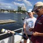
Anchors away! Dr. Lazarus gives a few tips, on the art of dropping anchor, to undergraduate student Michael Barnett as they stop to collect wind observations over the Indian River Lagoon on board the FIT pontoon boat.
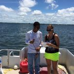
Florida Tech students Mohamed Al-Sabri and Tania Kilcullen on board the FIT pontoon. Airmar wind sensor in the background.
Data discussion between Florida Tech students Mohamed Al-Sabri and Tania Kilcullen on board the FIT pontoon.
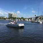
Graduate student, and pontoon captain, Angela Crowder with undergraduate students Mohamed Al-Sabri and Tia Harris on their way back into port after a day of wind data collection on the Indian River Lagoon.
Data discussion between Florida Tech students Mohamed Al-Sabri and Tania Kilcullen on board the FIT pontoon.
Graduate student, and pontoon captain, Angela Crowder with undergraduate students Mohamed Al-Sabri and Tia Harris on their way back into port after a day of wind data collection on the Indian River Lagoon.
Meanwhile FIT students Tia Harris and Mohamed Al-Sabri, along with professor Mike Splitt, port the wind lidar to a ‘sweet spot’ behind the Lagoon House.
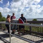
Florida Tech students find the ‘perfect’ spot to set up the wind lidar at the Lagoon House.
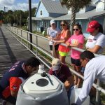
Professor Mike Splitt explains the field project work to some visiting high school summer camp students visiting the Lagoon House.
FIT student Kelly Reardon ‘unplugged’ at the Lagoon House after a day of wind data collecting.
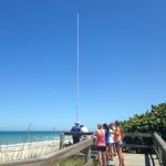
Drs Subramanian and Lazarus beachside with undergraduate student Mohamed Al-Sabri holding a retracted 10 meter pole and Kestrel wind sensor.
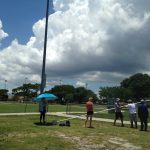
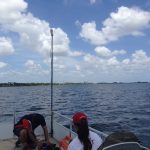
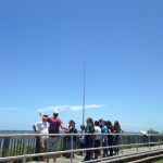
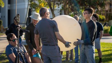
FIT students and faculty watch as a 10 meter pole with mounted Kestrel is set up
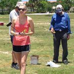
Florida Tech students Tania Kilcullen, Kelly Reardon, and Hailey Ambrose collect supporting wind observations along the beach dune.
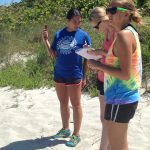
Meteorology student, Mohamed Al-Sabri has the hands-on experience of presenting his findings.